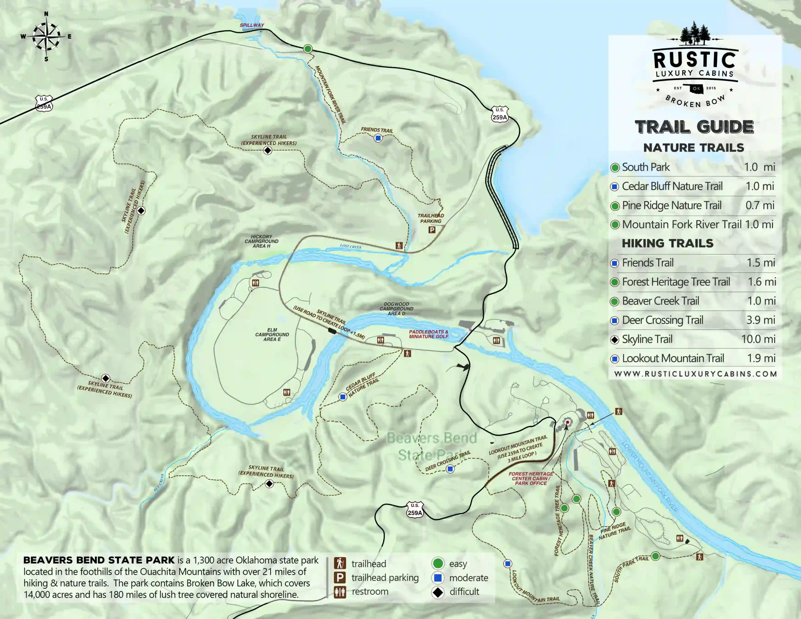
The Best Hiking Trails in Broken Bow & Beavers Bend State Park
Discover the best hiking trails in Broken Bow and Beavers Bend State Park with our comprehensive guide. Whether you’re seeking scenic trails, expert recommendations, or detailed maps, this page has everything you need for an unforgettable outdoor adventure. Explore our curated trail guides that showcase the park’s breathtaking landscapes, from serene riverside walks to challenging mountain hikes. Be sure to check out our trail map and get insider tips to make the most of your hiking journey in this popular Oklahoma destination. Plan your next adventure today with our ultimate Broken Bow hiking guide!
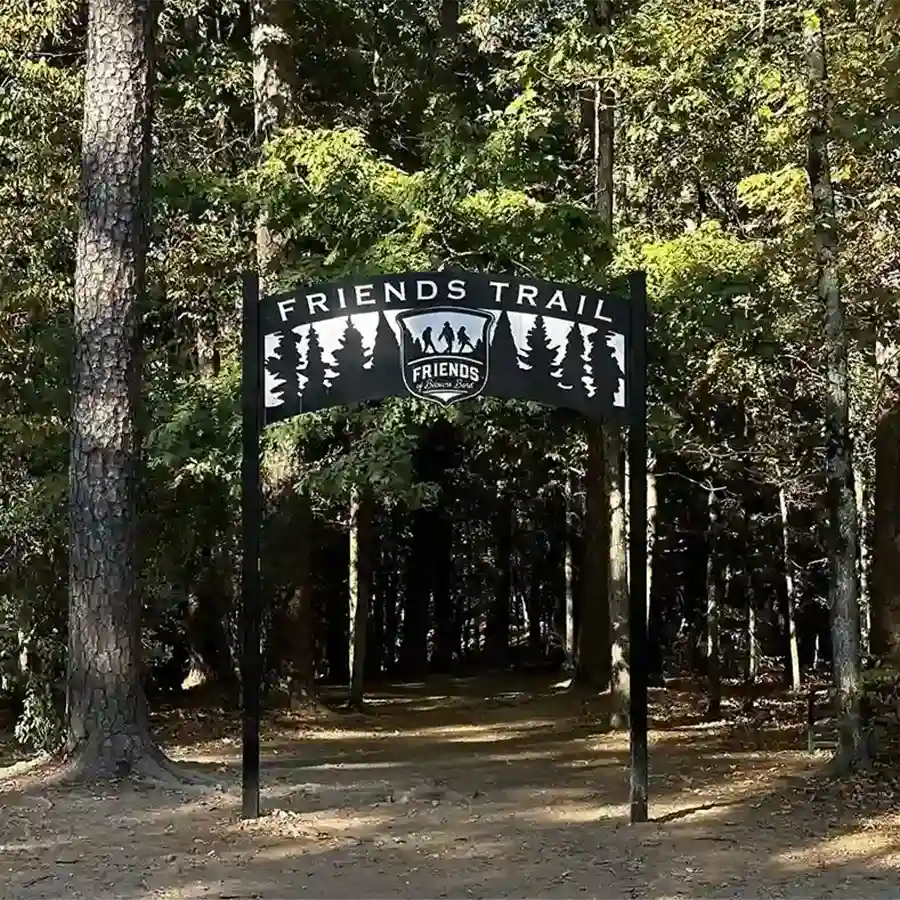
Friends Trail Loop:
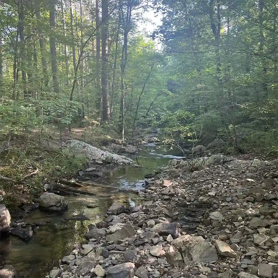
Friends Trail Loop has a nice parking lot near the trail head. There are some steep climbs during the trail. Portions of the trails run next to the Lower Mountain Fork River with gorgeous views and perfect spot to admire nature. The trail is the newest in Beavers Bend State Park and well marked. It has become one of the most popular trails here.
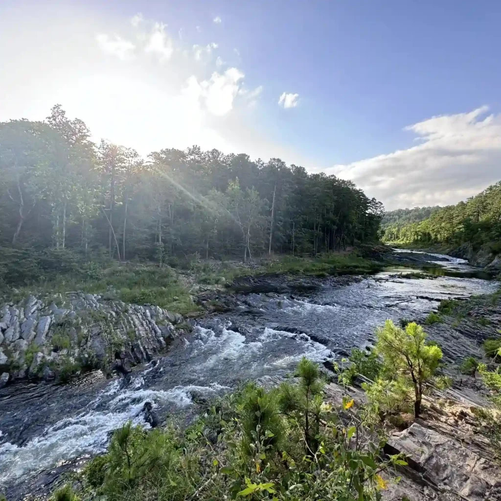
Mountain Fork River Trail
1 mile / One Way / Easy / Minimal Terrain
Mountain Fork River Trail is a great trail for kids and adults looking for a quick stop to admire the Lower Mountain Fork River in Beavers Bend State Park. Parking off 259A is easy and it is a short walk down to the river where you can skip some rocks for a few minutes and continue on your adventure or hike along the forested trail beside the river. This is a popular spot for fly fishing with several offshoots that lead down to the river.
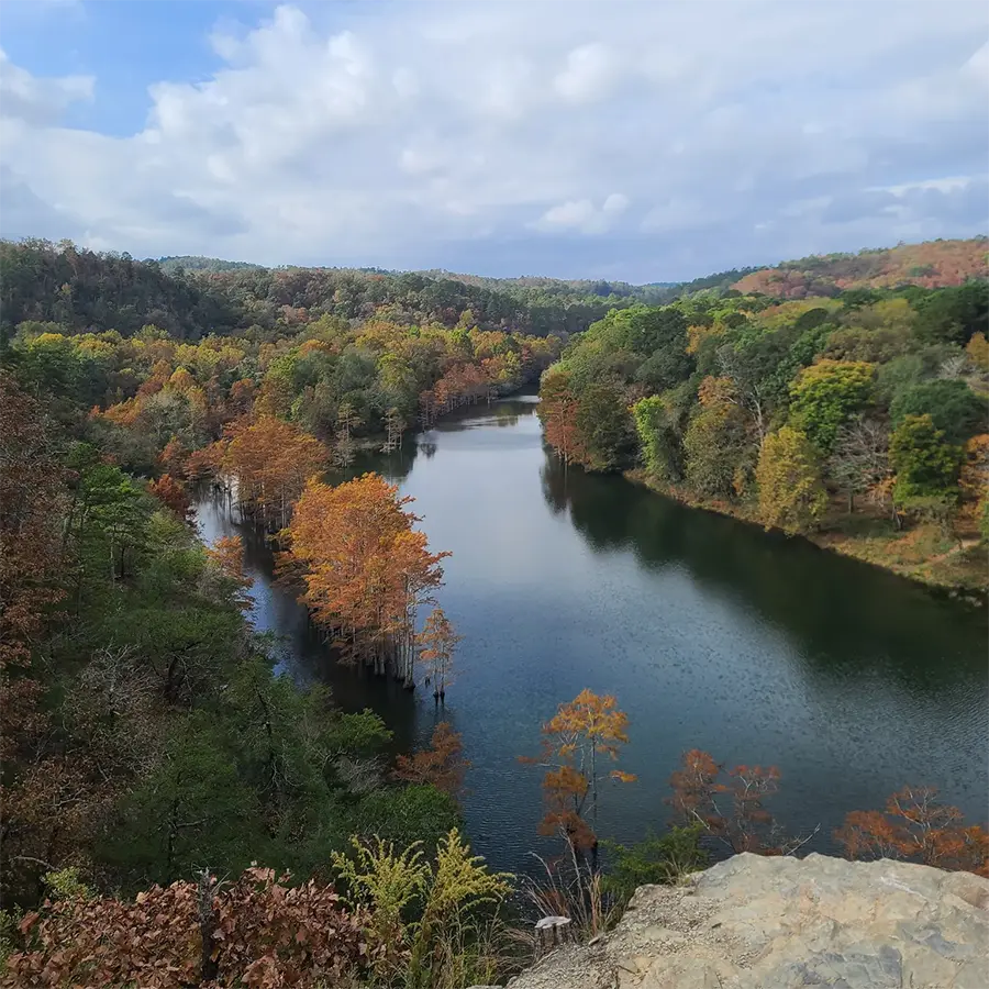
Cedar Bluff Nature Trail (DBHT)
1 mile / Loop / Moderate / Minimal Terrain
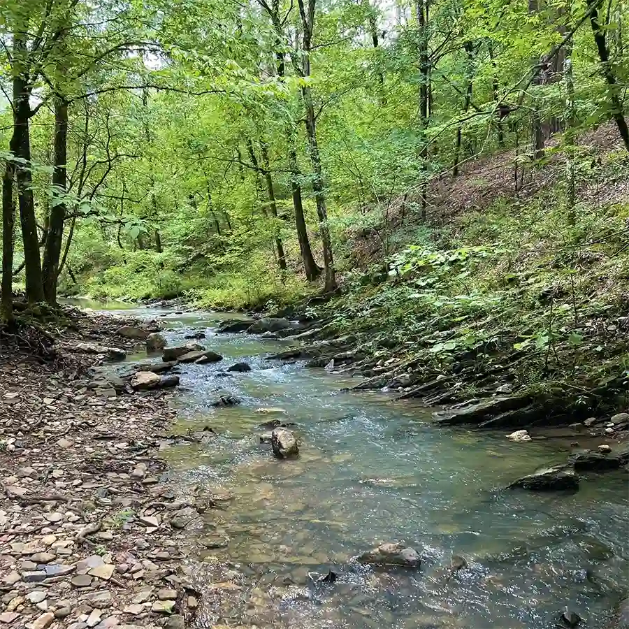
Cedar Bluff starts across from Dogwood Campground and near the miniature golf & kayak rentals on Lower Mountain Fork River. The trail is a fairly easy walk past Mountain Fork River with about 200ft of total elevations. Those elevations will give you pretty views of the river. Follow the blue tree blazes to stay on Cedar Bluff Nature Trail. Deer Crossing & Skyline Trail also intersects which are marked with red tree blazes.
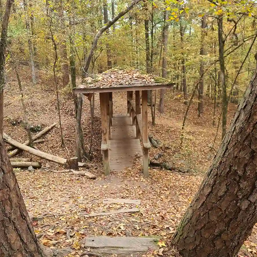
Forest Heritage Tree Trail
1.6 mile / Loop / Easy / Minimal Terrain
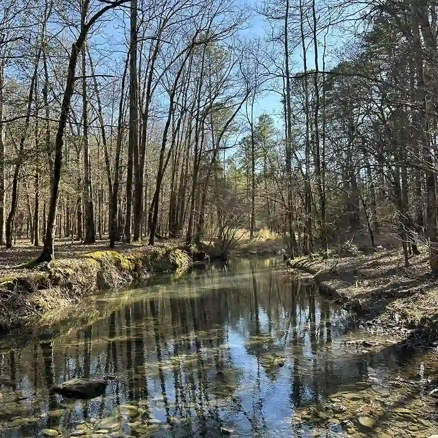
The trail starts at the Forest Heritage Center and take you along Beaver Creek, over a covered bridge and loops back to the Forest Heritage Center. This is relaxing walk with some varying elevation but easy for families and dogs. Keep an eye out for wooden signs that say “Trail”. The hiking trails are marked with white paint on the trees.
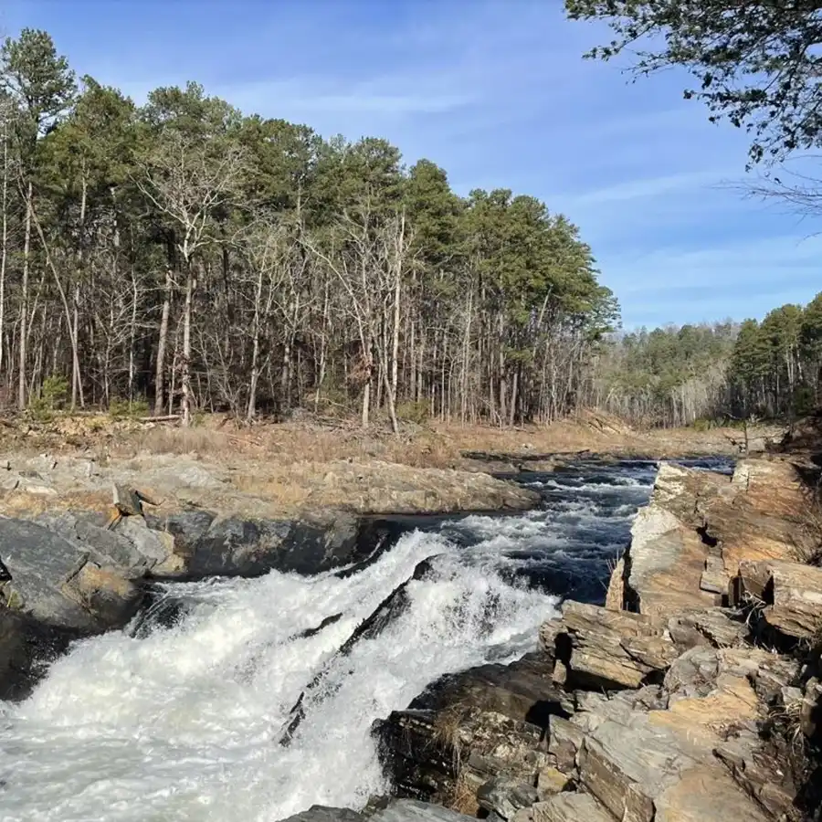
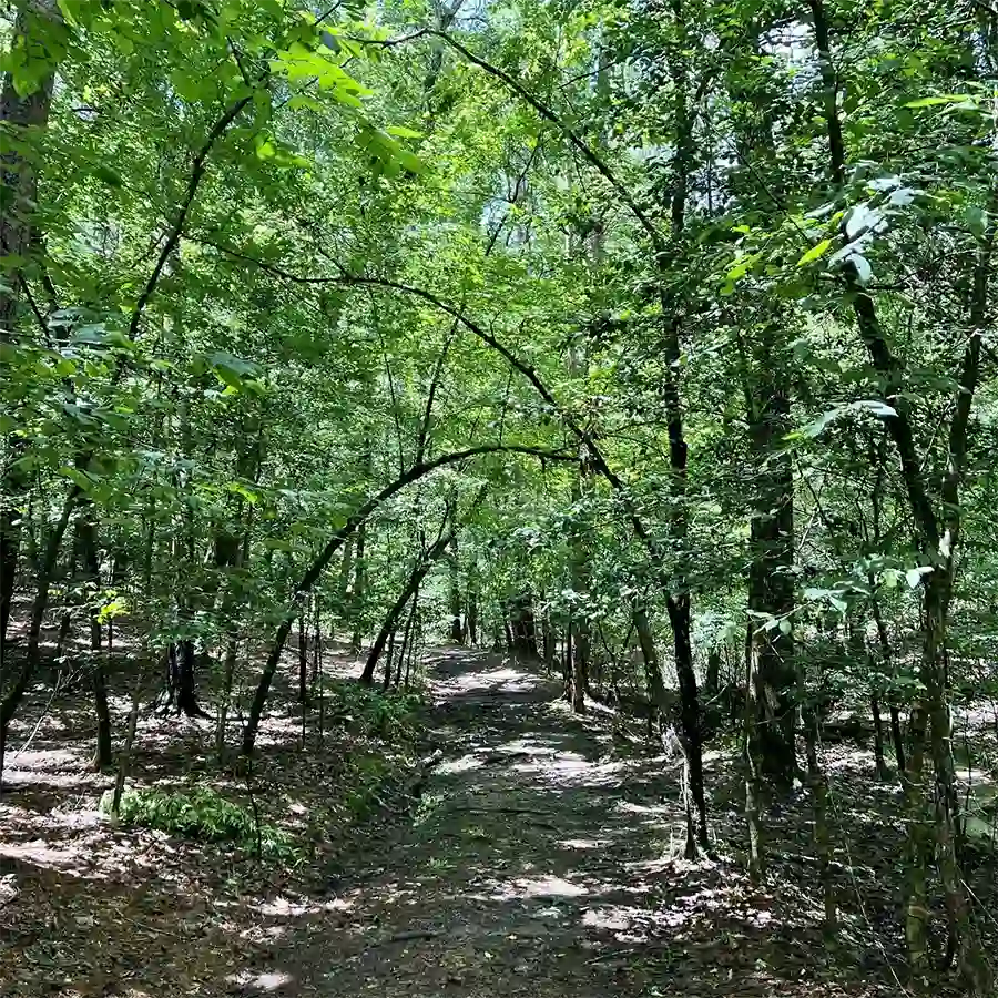
Skyline Trail
Skyline Trail is one of most difficult hiking trails in Broken Bow and recommended for experienced hikers only. The trail will take an average hiker over 4 hours to complete. The trail offers steep climbs, narrow paths and multiple water crossings. You will be rewarded with views of Lower Mountain Fork River and beautiful vistas of Beavers Bend State Park. Be aware the trails are not clearing marked, so plan accordingly with trail maps & the AllTrails app. This is one of the best hikes in Broken Bow that show off the Lower Mountain Fork River.
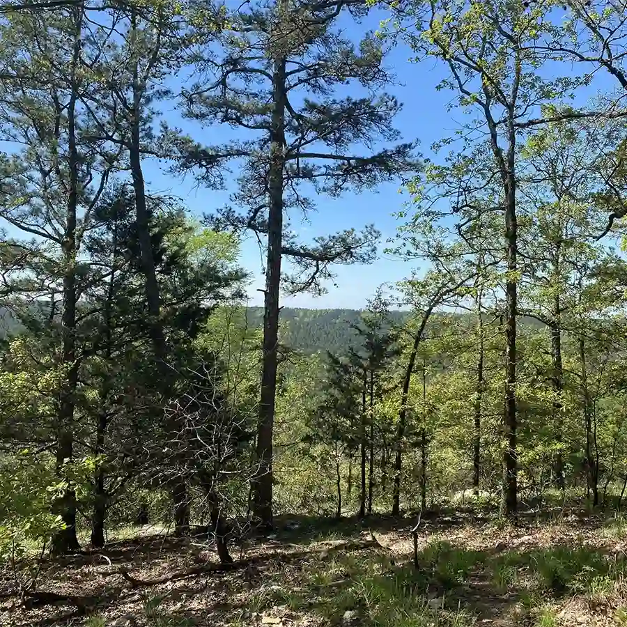
Lookout Mountain Trail
Lookout Mountain starts on the South side of 259a and has some moderate climbs amongst the pine trees & hard woods that open up to some nice vistas, but no true ‘lookout’. You should expect some rocky terrain and narrow trails at times. This trail can be a combined to create a 3 mile loop: Lookout Mountain Trail > Beavers Creek Trail, Lookout Mountain Trail and back to the Forest Heritage Center Museum.
South Park (DBHT)
1 mile / One Way / Easy / Minimal Terrain
South Park starts just south of Acorn & Cypress Campground. The trail is an easy hike to the Beaver Creek with some hills at the Southern end of Beavers Bend Park. The trail is great for birding, hiking, and mountain biking.
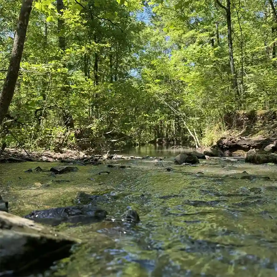
Beaver Creek Trail (DBHT)
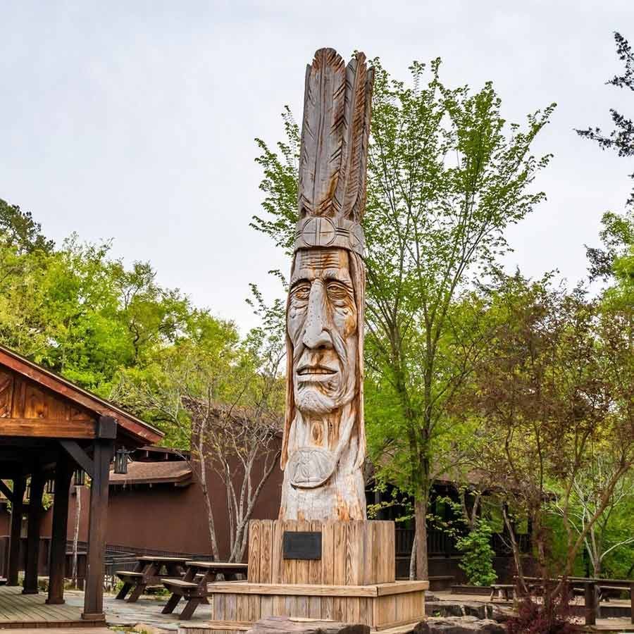
The trail can be started by the Nature Center near the Civilian Conservation Corp monument or off of the Forest Heritage Tree Trail (by the Forest Heritage Center Museum’s Indian sculpture) which runs parallel to a portion of Beaver Creek Trail. The trail will follow Beaver Creek until it intersects with South Park Trail. The trail is marked with red on white tree blazes and is mostly flat.
Deer Crossing Trail (DBHT)
The trail has some decent climbs with several creek crossings. The southern trailhead is located on the north side of 259a. Deer Crossing Trail also connects Lookout Mountain Trail with Cedar Bluff Nature Trail.
Pine Ridge Nature Trail
¾ mile / Loop / Easy / Minimal Terrain
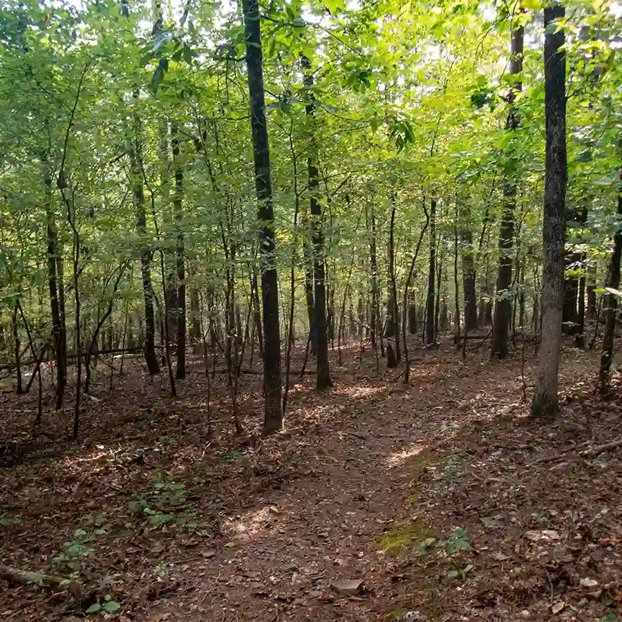
Pine Ridge Trail starts across from the tennis courts which are north of Cypress Campgrounds. The trail takes you through a lowland forest with minimal elevations. Expect wildlife, open trails, and an easy shaded walk.
David Boren Hiking Trail (DBHT):
The David Boren Trail offers 12 miles of hiking trails of varying difficulty throughout Beavers Bend State Park. DBHT can be accessed from four different trailheads, allowing for shorter hikes. The Trail is intended to be hiked from South to North consisting of four trails; South Park Trail, Beaver Creek Trail, Deer Crossing Trail, and finishing at Cedar Bluff Nature Trail. If you are hiking the trail, be aware the trail does not loop to the starting point. Overall, this is one of the best hiking trails in Broken Bow, Oklahoma.
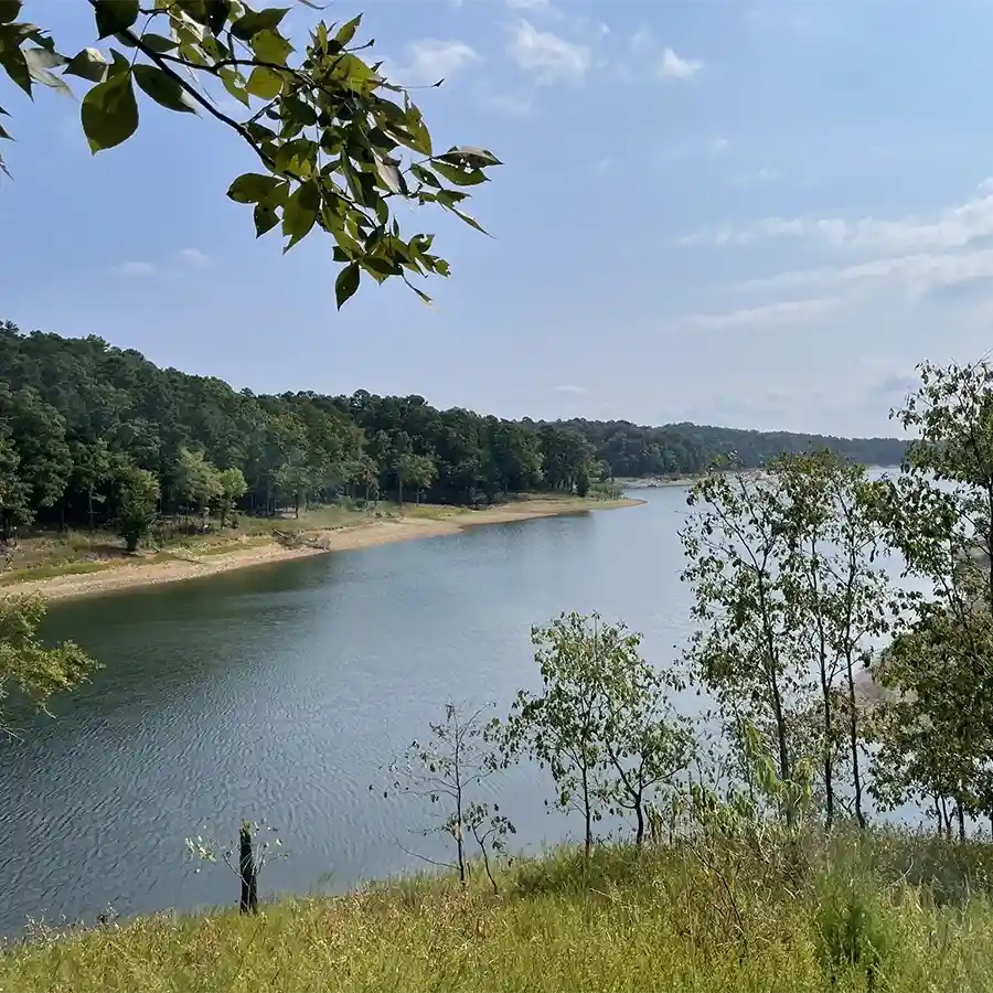
The David Boren Trail meanders through forests of native hardwood trees and towering pines across creek beds and up to ridge tops offering breathtaking views of Broken Bow Lake and other gorgeous vistas. You begin near Acorn Campground at the south end of Beavers Bend State Park at South Park trailhead and the trail continues north toward Broken Bow Lake connecting with Beaver Lodge Nature Trail, full of steep terrain. On past the Deer Crossing trailhead for two miles with some climbs then that leads to Cedar Bluff Natural Trail for one mile to finish up The David Boren Trail.
3 Mile Loop #1 Idea:
3 Miles / Loop / Moderate / Moderate Terrain
From the Nature Center, go south on Beavers Creek to Lookout Mountain and back east to the Forest Heritage Center Museum.
3 Mile Loop #2 Idea:
3 miles / Loop / Moderate / Moderate Terrain
From the Forest Nature Center, go south on Beavers Creek Trail then east on South Park Trail and then back up north on the park road to the Forest Nature Center.
Lakeview Lodge Trail*
The trail starts at Lakeview Lodge on Broken Bow Lake near the children’s playground with ample parking. Lakeview Lodge Trail is comprised of three loops. The trail is meant to be followed in a clockwise direction. The trail is self-guided and half of the trail is along the edge of the lake with good views and varied terrain. Expect beautiful pine trees, beautiful views of the lake and maybe some wildlife. This trail can also be mountain biked.
Best Kid-Friendly Hiking Trails in Beavers Bend State Park

All of these trails are well marked and have moderate terrain, making them perfect for kids. Friends Trail is slightly more challenging, but parking is easy and you can turn around whenever you like to head back. Mountain Fork River Trail is a kid-friendly, easy hike in Beavers Bend State Park, offering quick access to the river for skipping rocks and exploring a scenic forest path. It’s a great spot to enjoy at your own pace, whether for a quick stop or a longer adventure.
Other Resources for Hiking in Beavers Bend State Park
Hiking Guide & Activities

State Park App with Trail Guides
Best Hiking Maps, Guides & App